
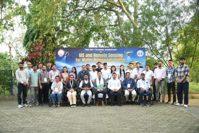
Guwahati, May 30: The North Eastern Hydraulic and Allied Research Institute (NEHARI) of the Brahmaputra Board, in collaboration with the South Asian Institute for Advanced Research and Development (SAIARD), conducted a two-day training workshop on “GIS & Remote Sensing for Water Resource Sector” on May 29 and 30.
The workshop was inaugurated by NEHARI Director Dr. Ranjit Deka, who highlighted the growing importance of GIS and remote sensing technologies in sustainable water resources management and project planning. SAIARD Founder Chairman Dr. Biswajit Roy Chowdhury also attended the inaugural session.
The programme featured lectures and practical sessions on remote sensing, geographical information systems, open data sources, flood management, watershed delineation, Google Earth Engine applications and other water resource management tools. Resource persons from SAIARD and NESAC conducted the sessions.
The workshop concluded with a valedictory session chaired by Brahmaputra Board Secretary Adil Khan, IAS. A total of 26 participants from the Brahmaputra Board and Water Resources Departments of Assam, Nagaland and other North Eastern states received certificates after successfully completing the training programme.
